Earlier this winter I had the pleasure to visit a navigational “monument” part of the Struves Arc. To be honest I had not heard about it before this winter, and when I had the chance, being in Finnmark, I had to go there. It was special place to come to the little mountain named Luvddiidčohkka. Thinking of navigating many places around the world, and suddenly standing on a place which has been “helping” me and millions of others (billions). This work and monuments is now on the UNESCO list. Four of the points are placed in Northern Norway. Easiest is to check the one in Hammerfest city.
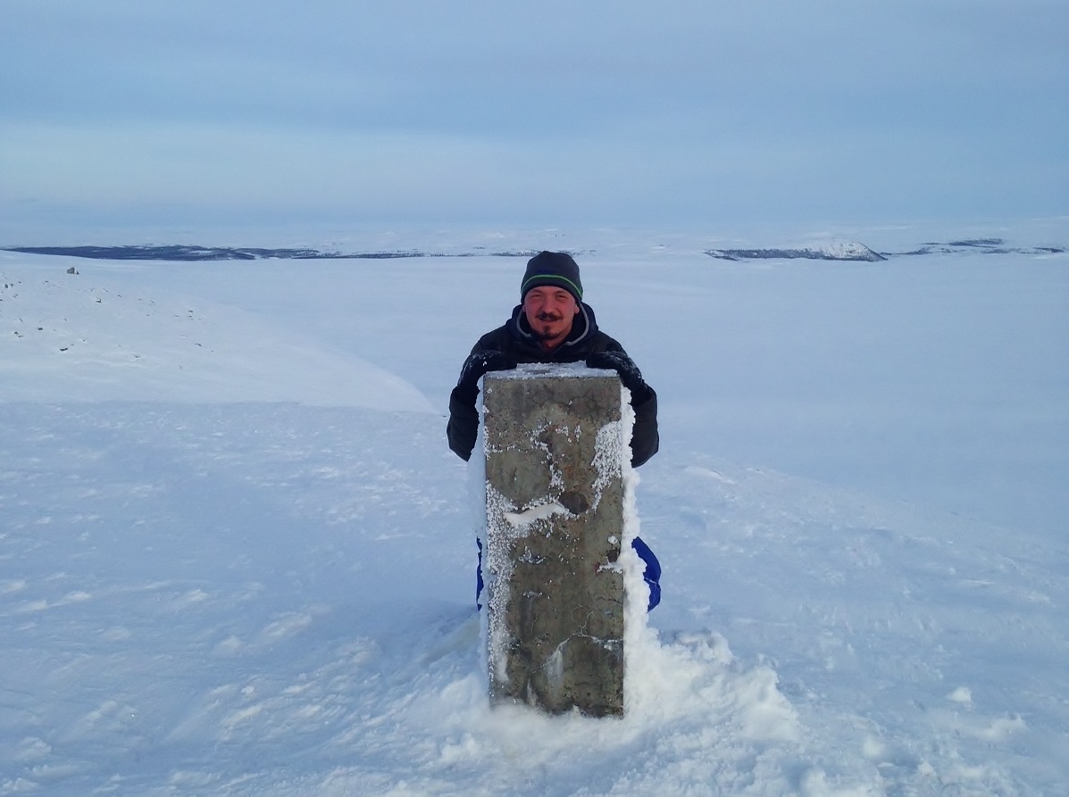
Luvddiidčohkka
The Struve Arc is a chain of survey triangulations stretching from Hammerfest in Norway to the Black Sea, through 10 countries and over 2,820 km. These are points of a survey, carried out between 1816 and 1855 by the astronomer Friedrich Georg Wilhelm Struve, which represented the first accurate measuring of a long segment of a meridian. This helped to establish the exact size and shape of the planet and marked an important step in the development of earth sciences and topographic mapping.
It is an extraordinary example of scientific collaboration among scientists from different countries, and of collaboration between monarchs for a scientific cause. The original arc consisted of 258 main triangles with 265 main station points. The listed site includes 34 of the original station points, with different markings, i.e. a drilled hole in rock, iron cross, cairns, or built obelisks.
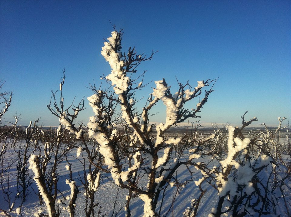
Finnmarksvidda in sunshine


You must be logged in to post a comment.